Showing posts with label Thematic mapping. Show all posts

Wednesday, October 15, 2014

Module 6 - Image Preprocessing 1: Spatial Enhancement and Radiometric Correction

Learning objectives for this lab include:
  • Spatial Enhancements
    • Pan-sharpening
    • Spatial filtering
  • Skills demonstrated in this lab include:
  • Download and import satellite imagery
  • Perform spatial enhancements in ArcMap and ERDAS
  • Utilize the Fourier Transformation function
For this lab we used ERDAS Imagine to modify data. There is a file called l7_striping.img.

I'm not aware of metadata explaining exactly what it is depicting, but it's in UTM zone 16N. Datum is WGS 84.  Usually it is related to West Florida - this makes sense since Tennessee is in zone 17N, and West Florida is West of (Eastern) Tennessee.

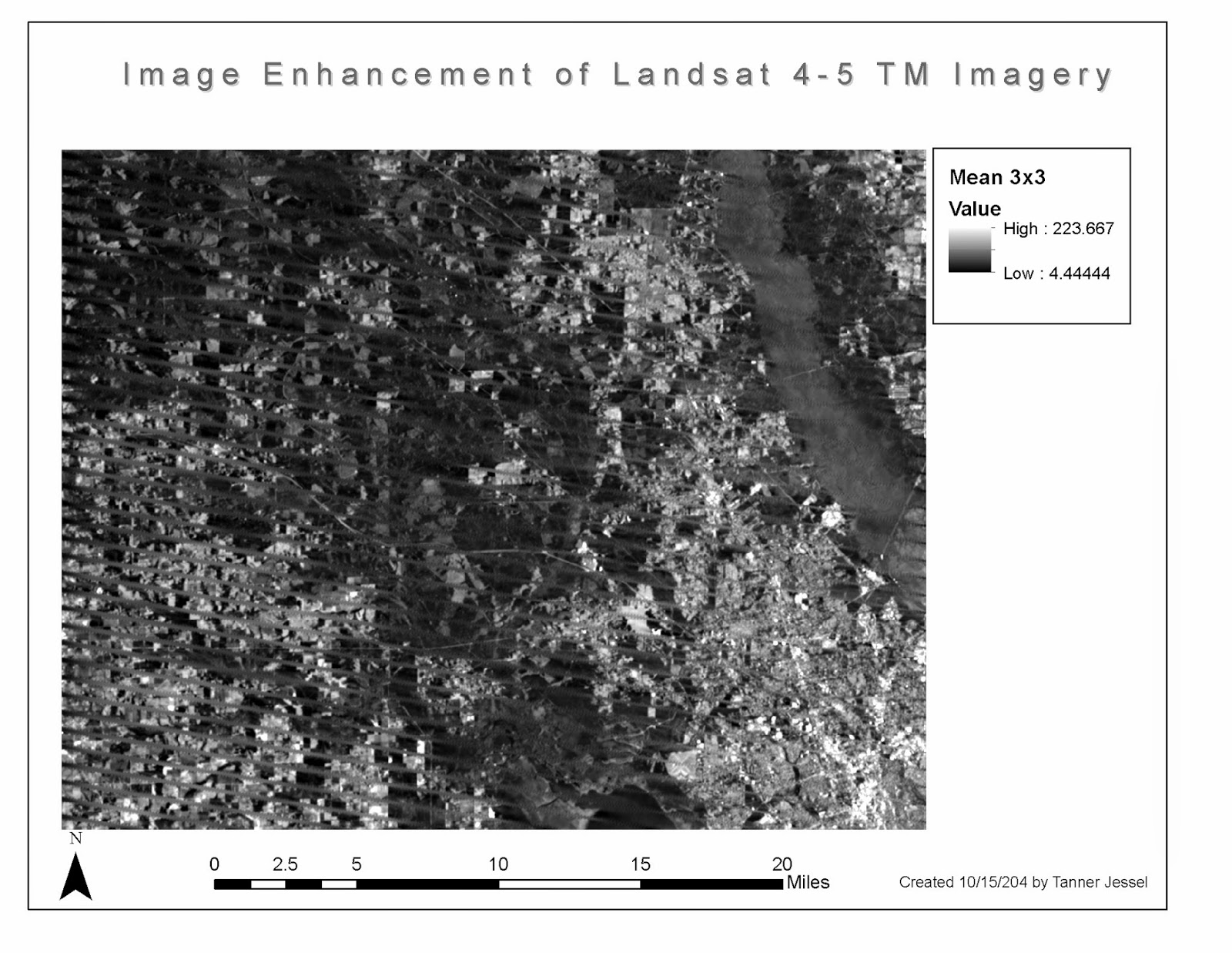
I want to include a "before" photo - in ERDAS I saved the file as a "JP2" and then opened the JP2 in Corel Draw that happened to be the one suggested program that could handle a "JPEG 2000" file.

"Before" Image of Landsat 4-5 TM data with swaths

Map 1: "After" image enhancement.  I had wanted to put a text box describing this but ended up having formatting problems. Will need to explore this further!


. 


Tuesday, September 30, 2014

GIS 403 - Module 5a -Lab Assignment - ERDAS Imagine

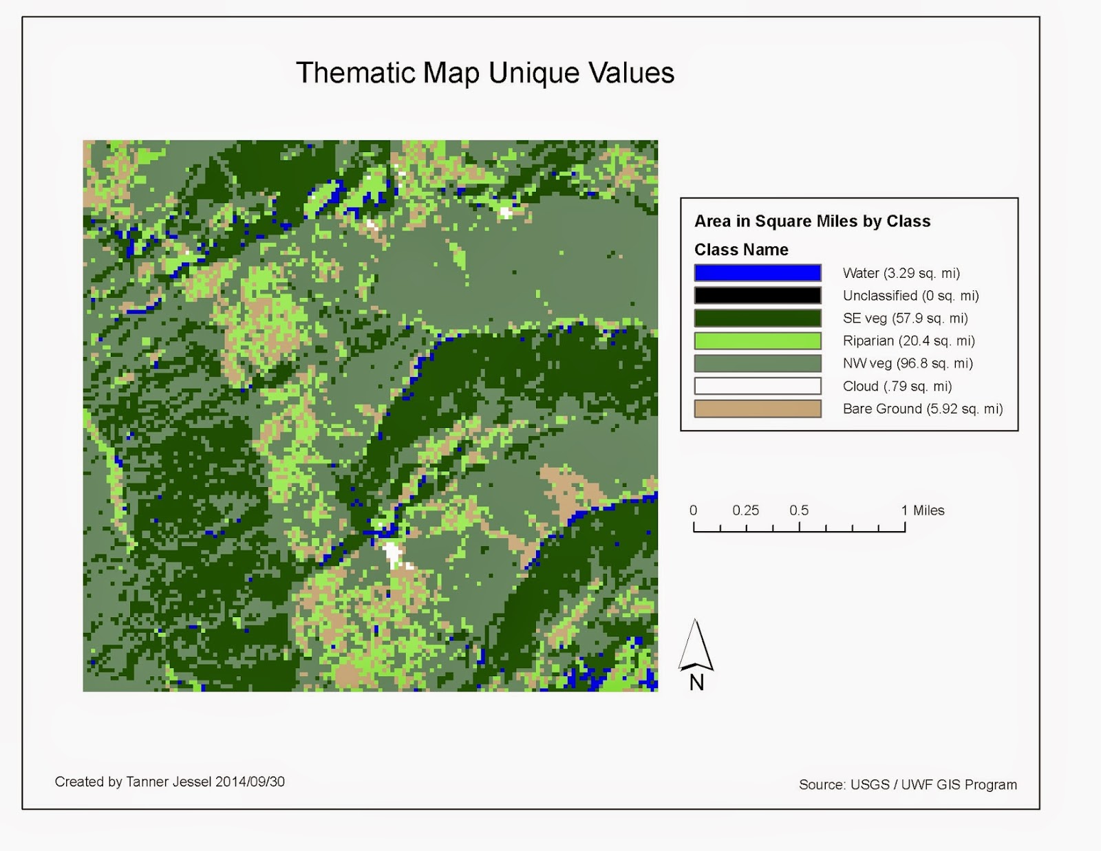
This assignment used ERDAS Imagine and ArcGIS Online to take a .img file and create a thematic map based on land cover.  I need to work on cartography - I have ended up being short on time for several of these and the final product is not great.

Lab 05 Map: Thematic Map with Unique Values.
For this lab, I sunk a bit of time into trying to add the table data for area covered.  This would be a dynamic way of displaying data.  I did not really want it to be appended to the legend.  The table would have gone in the spot where I placed the scale bar.

I "hid" attribute columns so I only had square miles and the value, but I was not able to get the table data to display only those with values greater than 0.  I was able to select them, but could not "hide" the other rows that did not have data, so I ended up with table data and a bunch of rows. I'd like to figure out how to fix that, but ran out of time to submit the assignment.