Learning objectives for this lab include:
- Spatial Enhancements
- Pan-sharpening
- Spatial filtering
- Skills demonstrated in this lab include:
- Download and import satellite imagery
- Perform spatial enhancements in ArcMap and ERDAS
- Utilize the Fourier Transformation function
For this lab we used ERDAS Imagine to modify data. There is a file called l7_striping.img.
I'm not aware of metadata explaining exactly what it is depicting, but it's in UTM zone 16N. Datum is WGS 84. Usually it is related to West Florida - this makes sense since Tennessee is in zone 17N, and West Florida is West of (Eastern) Tennessee.
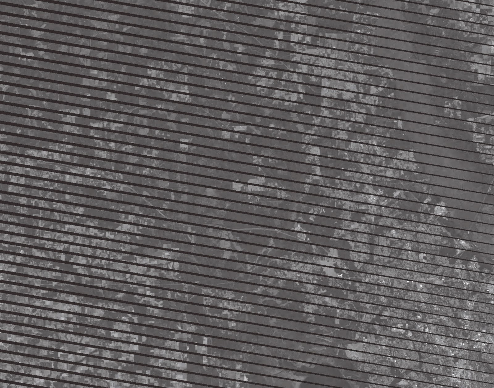
I want to include a "before" photo - in ERDAS I saved the file as a "JP2" and then opened the JP2 in Corel Draw that happened to be the one suggested program that could handle a "JPEG 2000" file.
 |
| "Before" Image of Landsat 4-5 TM data with swaths |
 |
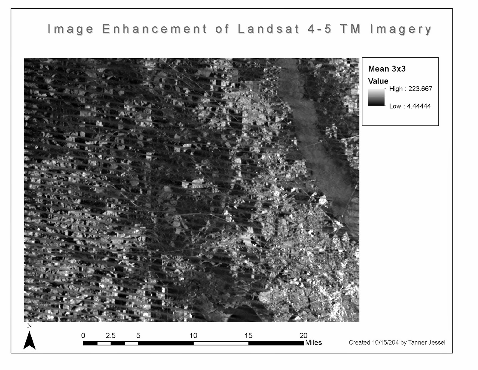
| Map 1: "After" image enhancement. I had wanted to put a text box describing this but ended up having formatting problems. Will need to explore this further! |
.
No comments:
Post a Comment